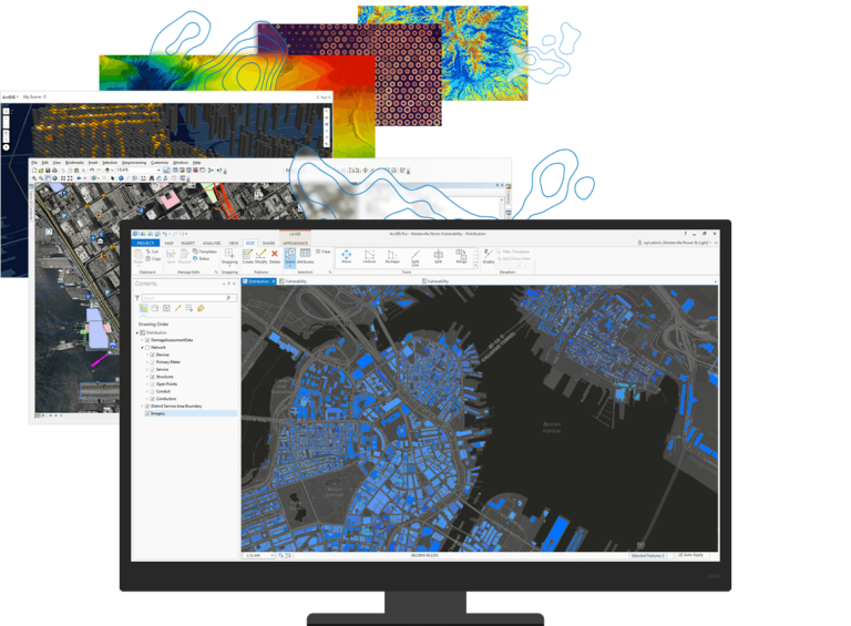
Digital Log Solutions Co. offers a comprehensive range of capabilities for providing Geoprocessing solutions, from scanning and digitizing to georeferencing overlays.
Our services encompass precise and integrated mapping solutions, including:

Digital Log Solutions Co., established in 2017, specializes in vectorizing and digitizing analog images, particularly focused on well log data, using cutting-edge technology for optimal client services and rapid expansion.
