
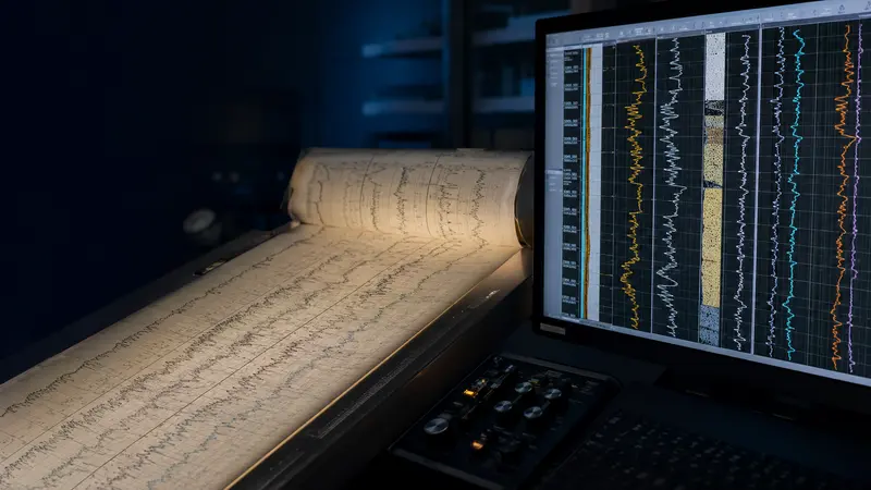
 Curve data conversion
01
Well Log Digitizing
Raster and paper logs converted into calibrated, editable curve data.
Explore service →
Geoscience data conversion
Well logs, directional plots, lithology, maps and technical documents converted with disciplined quality control and source fidelity.
Our services
Each service is supported by imagery created specifically for that type of technical work.
Curve data conversionRaster and paper logs converted into calibrated, editable curve data.
Explore service →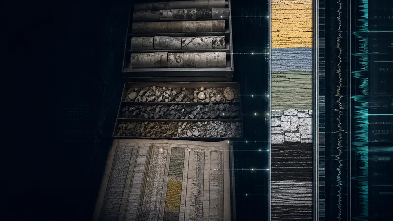 Formation intelligence
Mud-log lithology and formation descriptions rebuilt as structured digital tracks.
Explore service →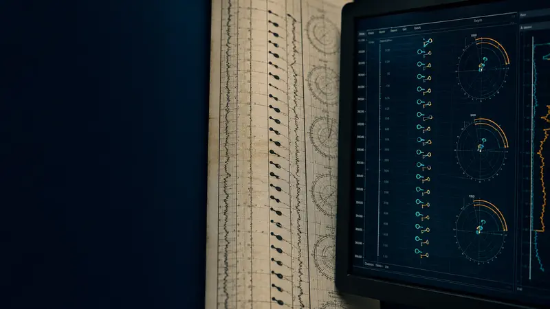 Directional data capture
Depth, dip, azimuth and quality captured from scanned tadpole plots.
Explore service → Technical data capture
Technical reports, tables and field records captured into validated datasets.
Explore service →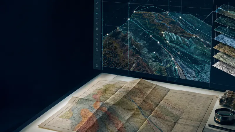 Geospatial conversion
Legacy geological maps converted to accurate GIS-ready vector layers.
Explore service → Technical archive conversion
Large-format logs, maps and technical archives scanned with source fidelity.
Explore service →How we work
Complex records move through a repeatable conversion and validation process.
Source, scale, quality and output needs are checked before production.
Naming, curve identity, depth, coordinate and format rules are defined.
Trained operators capture and structure the technical information.
Files pass layered source comparison, correction and final validation.