Source match
Operator checks the digital result directly against the original document.
Service scope
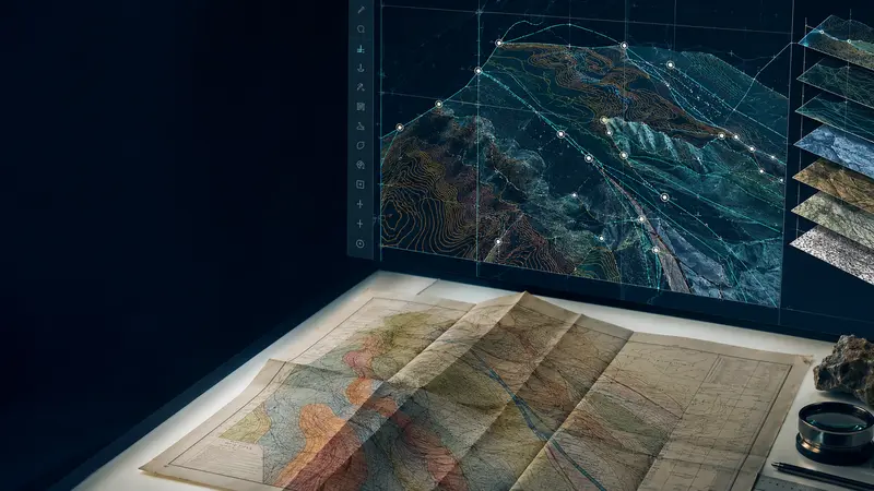
We combine scanning, vectorization and coordinate control to deliver maps that align with the client’s geological and geophysical environment.
Operator checks the digital result directly against the original document.
Project review catches omissions, alignment issues and naming inconsistencies.
Senior validation confirms corrections before the files are released.